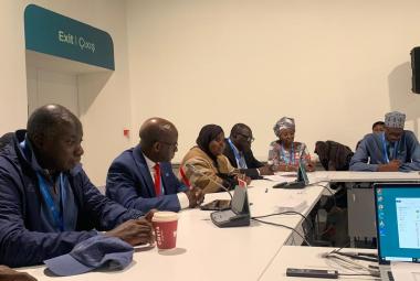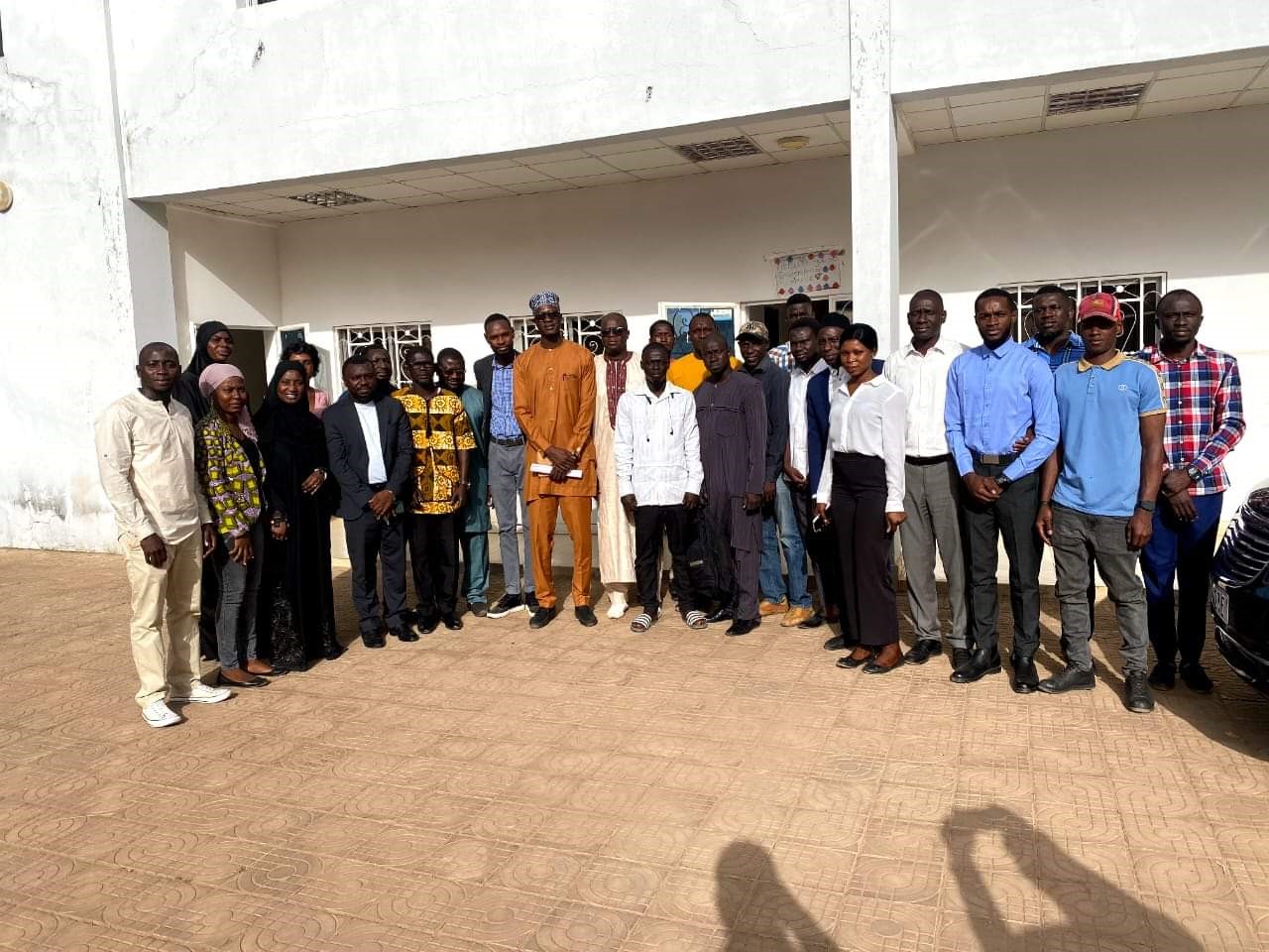
The Ministry of Environment, Climate Change and Natural Resources (MECCNAR), in collaboration with Spatial Informatics Group, recently concluded a three-day training on Geographic Information System (GIS) and Remote Sensing. The capacity building programme was supported by Environment and Climate Change Canada and Novashere, through MRV- Forestry.
The training aimed to reinforce the capacity of the relevant institutions in monitoring the development of forest resources in the country, as well as technicians who would regularly undertake forest resource monitoring.
In his opening remarks, Deputy Permanent Secretary at the Ministry of Environment, Climate Change and Natural Resources, Mr. Bubacarr Zaidi Jallow said the training lays the foundation stone for conducting a comprehensive survey to assess the current state of forests and parks.
Highlighting the urgency of the training, DPS Jallow pointed out that The Gambia had not undertaken such studies in the past decade. He called for more collaborative efforts to safeguard the beauty of natural treasures.
MRV- Forestry aims to create an internal legal expert group on MRV of climate change mitigation actions in the forestry sector to monitor forest change and degradation.
An experienced GIS instructor guided the participants through the complexities of spatial data analysis. They learned to map tree species distribution, track wildlife migration patterns, and identify areas prone to deforestation.
During the presentation, participants perceived the power of GIS in optimising their decision-making. Armed with new-found knowledge, they created detailed maps that highlighted vulnerable zones and came up with targeted reforestation initiatives. The technology enabled them to monitor the health of the forest in real-time, responding swiftly to threats such as illegal logging and wildfires.
As the training progressed, the participants discovered innovative ways to integrate GIS into their daily routines. They used satellite imagery to assess forest density, identifying prime locations for biodiversity preservation.