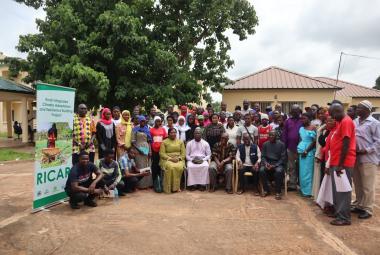
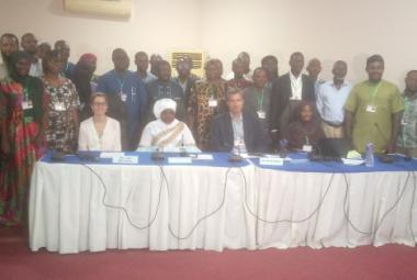
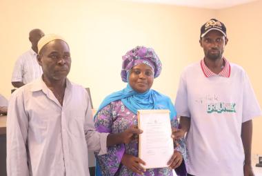
The EbA project in partnership with ICRAF developed a geospatial information system Platform. Members were selected from stakeholder departments under the Ministry of Environment Climate Change and Natural Resources to spear head the provision and processing of spatial data into the geoportal.
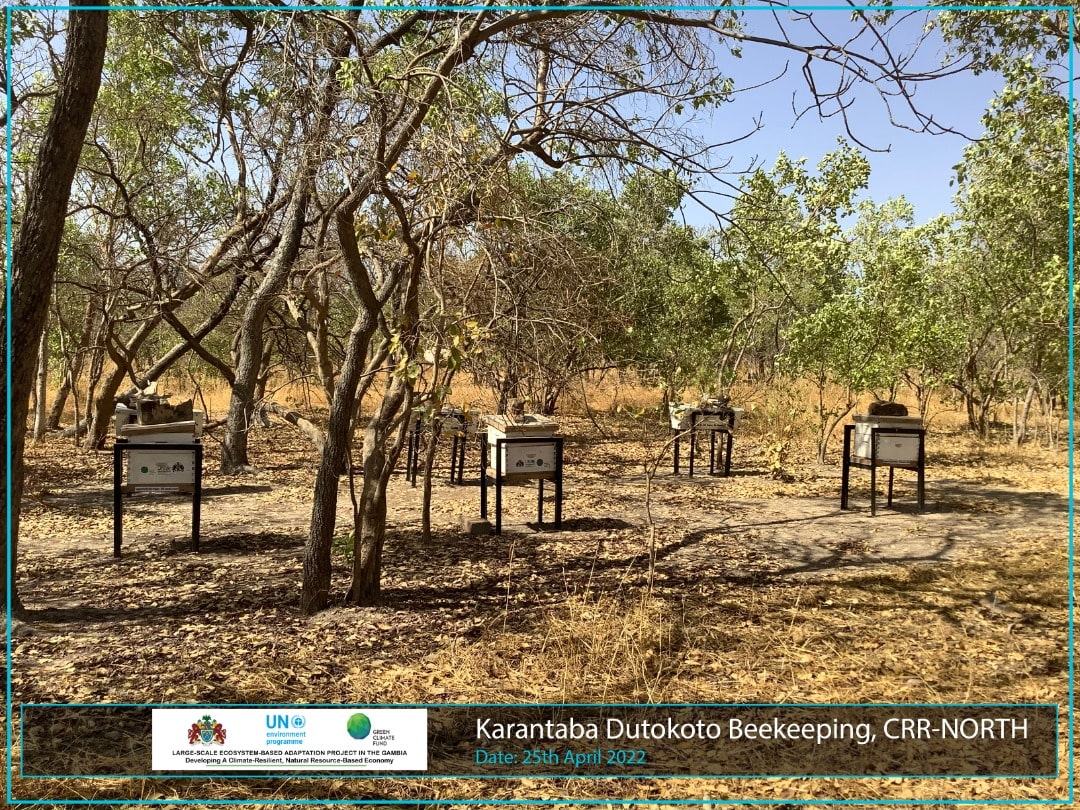
In light of the above, the geoportal team embarked on a nine days trek from 22nd – 30th April 2022 to collect point coordinates and other metadata information of 34 beekeeping sites, 7 multipurpose centers and 10 forest station across EbA project intervention sites. The data collected will be process by the geoportal admin team into shape files and later would be uploaded in to the Gambia Geoportal Database for ease of reference.

